








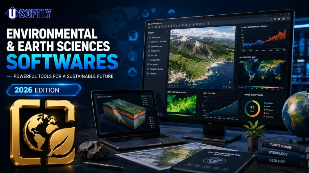
Environmental & Earth Sciences software download resources are essential for hydrogeologists, geospatial analysts, mining engineers, geophysicists and environmental consultants who work with natural systems, terrain data, groundwater, remote sensing and geological models. The Environmental & Earth Sciences category at Usoftly brings together more than +250 software titles used in research, field interpretation, resource assessment and technical planning.
It is a practical reference point for users looking for the best environmental software, earth science engineering software or the latest version of a specialized analysis tool.
| Software | Primary Function | Typical Users | License Type* |
|---|---|---|---|
| AQTESOLV | Aquifer test interpretation, pumping/slug/constant-head analysis | Hydrogeologists, groundwater specialists | Paid |
| Exelis ENVI | Remote sensing and geospatial image processing | GIS analysts, remote sensing professionals | Paid |
| NETCAD GIS | Combined GIS and CAD design/analysis | Engineers, urban planners, GIS users | Paid |
| XPRAFTS | Hydrological modeling, flood forecasting, runoff analysis | Civil engineers, water resource specialists | Paid |
| GAEA Winlog | Geological field data logging and record management | Geologists, field technicians | Paid |
| Gemcom GEMS | Geological modeling and mine planning | Mining engineers, geologists | Paid |
| Itasca UDEC | 2D distinct element modeling for geotechnical stability analysis | Geotechnical engineers, mining engineers | Paid |
| Maptek Vulcan | 3D geological modeling and mine design | Mining engineers, geologists | Paid |
| ESRI ArcGIS Pro | GIS mapping, spatial analysis, and geodata management | GIS analysts, planners, researchers | Paid |
| Cyclolog | Borehole/core logging and geological data organization | Geologists, exploration teams | Paid |
Core & Flagship Software Tools
- AQTESOLV
- Exelis ENVI
- ESRI ArcGIS Pro
- Maptek Vulcan
AQTESOLV
AQTESOLV is developed by Hydrologic Software, Inc. and is used for aquifer test interpretation, including pumping tests, slug tests and constant-head tests. Hydrogeologists and groundwater specialists rely on it to estimate hydraulic conductivity, transmissivity and related aquifer properties. A distinguishing feature is its strong curve-matching workflow for field data analysis, which makes it especially valuable in groundwater studies.
Exelis ENVI
Exelis ENVI is developed by NV5 Geospatial Software and is a remote sensing and geospatial imagery analysis platform. It is widely used by GIS analysts, environmental researchers and imaging professionals for spectral analysis, change detection and image classification. Its integration with IDL is a key differentiator, since it supports custom processing workflows and advanced automation.
ESRI ArcGIS Pro
ESRI ArcGIS Pro is developed by Esri and is one of the most widely used GIS platforms for spatial analysis, mapping and geodata management. Environmental planners, geographers and public-sector analysts use it to build layered maps, process spatial datasets and support decision-making. Its distinguishing feature is the breadth of its ecosystem, which makes it a central platform for many GIS-based workflows.
Maptek Vulcan
Maptek Vulcan is developed by Maptek and is used for 3D geological modeling, mine planning and resource analysis. Mining engineers and geologists use it to interpret subsurface data, design pits or underground workings and manage geological models. A notable feature is its robust workflow for integrating geological interpretation with mine design tasks.
Specialized & Supporting Tools
- NETCAD GIS
- XPRAFTS
- Itasca UDEC
- GAEA Winlog
NETCAD GIS
NETCAD GIS is developed by NETCAD and combines CAD and GIS functionality in a single environment. It is used by engineers, urban planners and spatial analysts who need both technical drawing tools and geographic analysis tools. Its distinguishing strength is the integration of design and spatial layers in one platform, which helps streamline engineering and planning workflows.
XPRAFTS
XPRAFTS is a hydrological analysis software developed for civil engineering and water resources work. It is used by engineers handling flood forecasting, storm event analysis and drainage modeling. A key feature is its support for Australian rainfall-runoff methodologies, which makes it useful for region-specific hydrological studies.
Itasca UDEC
Itasca UDEC is developed by Itasca Consulting Group, Inc. and is a 2D distinct element modeling tool for geotechnical analysis. Geotechnical and mining engineers use it to study slope stability, underground excavations and fractured rock masses. Its distinguishing feature is the use of the distinct element method for simulating discontinuous materials and jointed rock behavior.
GAEA Winlog
GAEA Winlog is used in geological and field data logging workflows, especially where structured interpretation and record management are needed. It supports professionals who document and organize earth science observations and its practical value lies in simplifying field data handling and logging consistency.
Additional Tools & Use Cases
- Gemcom GEMS
Gemcom GEMS
Gemcom GEMS is developed by Gemcom Software International and is used for geological modeling and mine planning. Mining professionals use it to build resource models, analyze deposits and support operational planning. Its key strength is its long-standing role in mine geology workflows and orebody modeling.
Cyclolog
Cyclolog is used in geological and subsurface logging workflows, especially in environments where core, borehole or drilling records must be organized and interpreted. Geology teams and field technicians use it to standardize logging data and its value lies in improving traceability across exploration projects.
A broader Environmental & Earth Sciences software download library also helps users work across disciplines such as hydrology, remote sensing, geomechanics and GIS. For example, a AQTESOLV tutorial is often sought by groundwater specialists, while an ENVI latest version is typically relevant for image analysts working with updated sensor data formats and processing methods.
System Requirements & Installation Notes
Before choosing an installable version, users should confirm operating system compatibility, available RAM, graphics capability and whether the software requires 32-bit or 64-bit architecture. GIS, remote sensing and geotechnical tools often benefit from stronger CPUs and larger memory capacity, especially when working with large raster datasets, 3D models or multi-layer spatial projects. In general, selecting the correct version for your OS and workstation configuration is important for stable performance.
Conclusion & Related Categories
At Usoftly, we provide updated versions, safe download references and practical guidance for technical users who need reliable engineering tools. This Environmental & Earth Sciences category is designed as a reference hub for professionals seeking accurate software information, installable versions and workflow support. For related technical areas, you may also explore Statistics & Data Analysis, Medical & Healthcare and Oil, Gas and Energy.
Frequently Asked Questions
Which Environmental & Earth Sciences software is best for beginners?
For beginners, NETCAD GIS and ArcGIS Pro are often easier starting points because they cover common mapping and spatial analysis tasks with structured interfaces. For groundwater work, AQTESOLV is more specialized, so users usually benefit from a tutorial or guided training first.
What is the difference between Exelis ENVI and ArcGIS Pro?
Exelis ENVI is focused on remote sensing and imagery interpretation, while ArcGIS Pro is a broader GIS platform for mapping, spatial analysis and geodata management. ENVI is stronger for satellite and raster image analysis, whereas ArcGIS Pro is better suited for general GIS workflows and layered spatial projects.
What is the difference between AQTESOLV and XPRAFTS?
AQTESOLV is used for aquifer testing and groundwater parameter estimation, while XPRAFTS focuses on hydrological modeling, flood forecasting, and runoff analysis. In short, AQTESOLV is groundwater-oriented, while XPRAFTS is surface-water and storm-event oriented.