Carlson Survey OEM is a powerful, OEM version of Carlson’s industry-standard surveying software. It is designed to be licensed and embedded by hardware manufacturers into their field data collectors and controllers. The software provides a complete suite of surveying tools for data collection, COGO (Coordinate Geometry) calculations, construction stakeout, and field-to-finish workflows. It is known for its robustness, customization options, and seamless integration with Carlson’s office software and AutoCAD.
Carlson Survey OEM is developed for land surveyors, civil engineers, construction surveyors, and GIS professionals. It is specifically designed for professionals who need advanced, customizable surveying software for field data collection, stakeout, boundary determination, and topographic mapping, typically running on ruggedized field controllers or tablets.
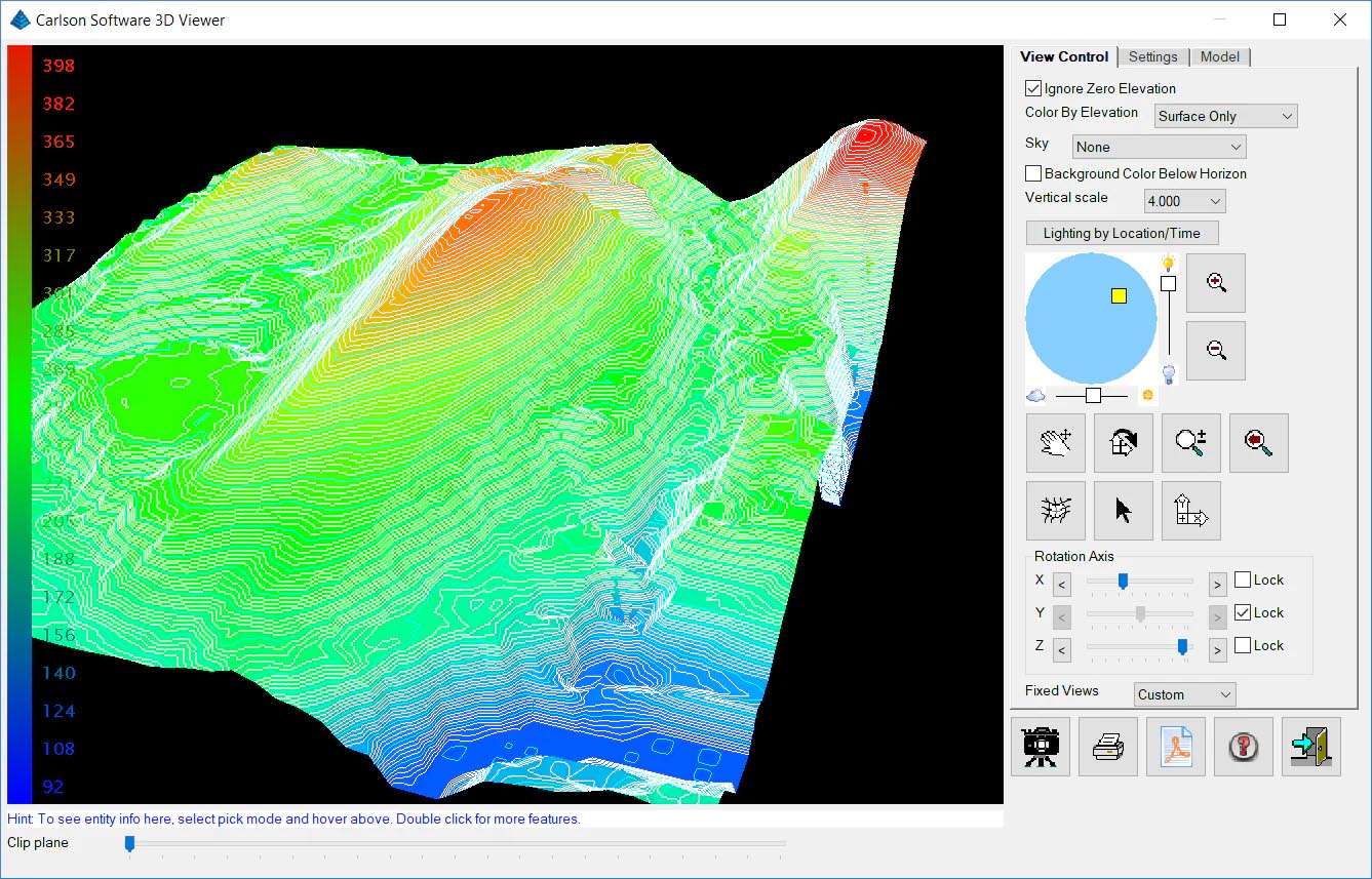
Comprehensive Data Collection: Supports all standard surveying tasks: topo, boundary, as-built, and construction layout with codes, attributes, and photos.
Advanced COGO & Calculations: Full coordinate geometry tools for inverses, intersections, traverses, adjustments, and area/volume calculations directly in the field.
Construction Stakeout: Robust stakeout routines for points, lines, curves, alignments, and 3D grades with cut/fill reporting.
GNSS & Total Station Integration: Deep, optimized support for all major total station and GNSS receiver brands via the OEM’s specific hardware drivers.
Field-to-Finish Workflow: Collect data with intelligent linework codes that automatically generate drawings in Carlson office software (e.g., Carlson Civil, SurvCADD).
Customizable Interface & Forms: Highly customizable data collection screens and forms to match specific company standards or project requirements.
Data Transfer & Compatibility: Easy import/export of data in industry-standard formats (DXF, LandXML, CSV) and direct sync with Carlson office software.
The 2026 release focuses on modern platform support, enhanced GNSS features, and productivity tools:
Modern Windows IoT 11 Support: Full support and optimization for the latest Windows 11 IoT Enterprise platform on modern rugged field tablets, replacing legacy Windows CE.
Enhanced Multi-Constellation GNSS Processing: Improved algorithms for leveraging all available GNSS constellations (GPS, GLONASS, Galileo, BeiDou) and signals (L1, L2, L5) for faster fixes and better accuracy in challenging environments.
New “Intelligent Topo” Collection Mode: AI-assisted logic that suggests optimal point density and location during topo surveys based on terrain changes, reducing redundant shots.
Improved BIM & 3D Stakeout Tools: Better support for importing and staking out complex 3D models (IFC, 3D DWG) for construction verification.
Streamlined UI for Tablet Touchscreens: A redesigned, more touch-friendly interface for modern tablets with gesture support and larger button targets.
OS: Windows 10
CPU: Intel Atom x5/x7 or Celeron N/J series, or ARM-based Qualcomm Snapdragon (as specified by OEM)
RAM: 4 GB
Price: 325 $
Price Currency: $
Operating System: Windows
Application Category: Surveying


Reviews
There are no reviews yet.