Covadis 2026.1

Latest update

December 27, 2025

License Price

Price on Request

OS

Windows

Covadis 2026.1


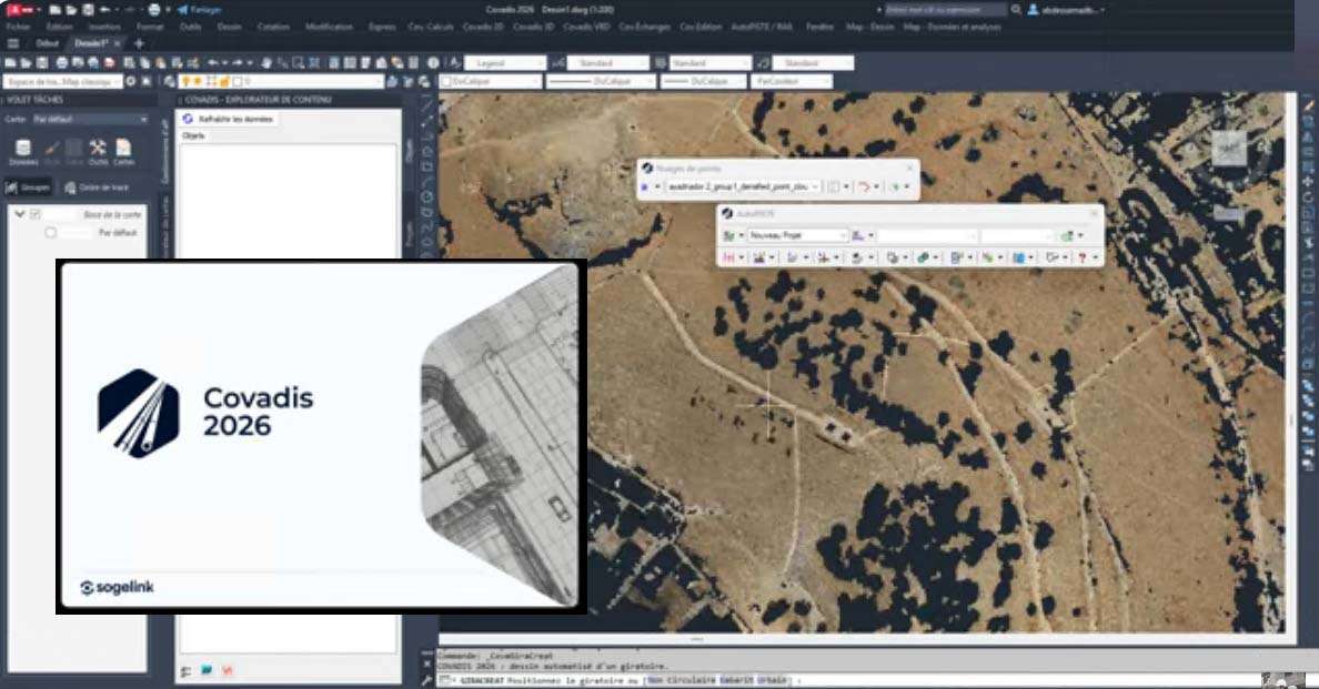
COVADIS x64 is a civil engineering and land surveying solution developed by Géomédia S.A.S. It integrates directly with Autodesk AutoCAD to deliver a seamless workflow from field data to finished plans. Designed for topography, road and site design, urban planning, and cadastral work, COVADIS x64 helps teams model terrain, design alignments and platforms, calculate earthworks, and produce professional drawings and reports with consistent, customizable styles.


Key capabilities:

  • Native integration with AutoCAD (64-bit), using DWG as the core format
  • Survey data import with point management, coding, and automated drafting
  • Digital terrain model creation (TIN), breaklines, contours, and slope analysis
  • Longitudinal and cross-section generation with dynamic labeling
  • Alignment, road, and corridor design for linear projects
  • Site grading and platform modeling for subdivisions and developments
  • Parcel layout and area calculations for cadastral and land development tasks
  • Earthwork volume computations and cut/fill color maps
  • Georeferencing and coordinate system management for national and international grids
  • Interoperability with common exchange formats such as LandXML, DXF, SHP, and CSV


Software

Price: 0 $

Price Currency: $

Operating System: Windows

Application Category: Civil Engineering

Editor's Rating:
5

Latest update

December 27, 2025

License Price

Price on Request

OS

Windows

Reviews

There are no reviews yet.

Be the first to review “Covadis 2026.1”

Your email address will not be published. Required fields are marked *

Recommended for You