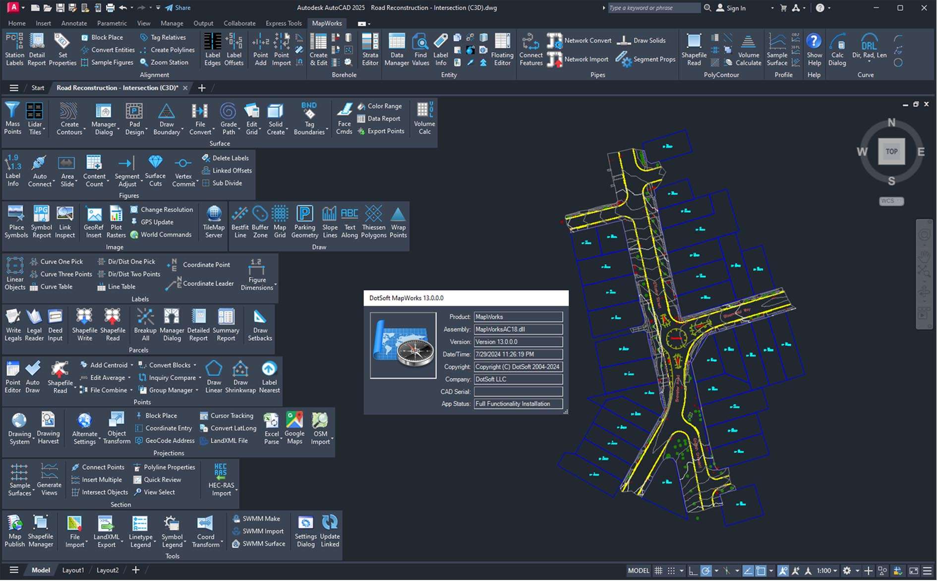
DotSoft MapWorks is a comprehensive productivity toolkit for geospatial and mapping workflows within AutoCAD. It extends the core functionality of AutoCAD Map 3D and Civil 3D by adding hundreds of specialized commands and tools for efficient data import/export, coordinate geometry (COGO), terrain modeling, parcel management, annotation, and GIS analysis. It bridges the gap between advanced GIS capabilities and the familiar AutoCAD drafting environment, streamlining the creation of survey maps, site plans, and infrastructure maps.
DotSoft MapWorks v13 is a specialized mapping and GIS data processing software designed for Surveyors, Civil Engineers, GIS Technicians, Planners, and Public Works Professionals who use AutoCAD Map 3D or Civil 3D as their primary platform for creating, editing, analyzing, and managing geospatial data and maps.
Advanced Survey & COGO Tools: Comprehensive coordinate geometry tools for traverse adjustment, curve calculations, point creation/manipulation, and label generation that go beyond basic AutoCAD Civil 3D commands.
Robust Data Translation & Connectivity: Extensive import/export filters for survey data (data collectors), GIS formats (SHP, SDF, KML), and CAD formats, ensuring smooth data exchange with field crews and other departments.
Terrain Modeling & Analysis: Tools for creating, editing, and analyzing triangulated irregular networks (TINs) from points and breaklines, calculating volumes, and generating contours.
Parcel & Legal Description Tools: Dedicated functions for creating, editing, labeling, and managing parcels, including tools for generating legal descriptions and area reports.
Annotation & Cartography: Automated and batch annotation tools for coordinate points, contours, and linework to create presentation-ready maps quickly.
GIS Query & Analysis: Enhanced spatial query tools, buffer creation, and data attribution within the AutoCAD environment.
This release focuses on enhanced compatibility, new data processing tools, and refined workflows for modern geospatial tasks.
Full Support for AutoCAD Map 3D 2024/Civil 3D 2024: Certified compatibility and optimization for the latest Autodesk AEC collection releases.
Enhanced Point Cloud & Reality Capture Tools: Improved tools for importing, visualizing, and extracting data from LiDAR point clouds and photogrammetric meshes within the CAD environment.
Expanded Data Exchange Formats: Support for newer versions of survey data formats and additional GIS/CAD interchange formats.
Improved User Interface Integration: Seamless integration into the AutoCAD ribbon with updated icons and a logical grouping of tools for mapping-specific workflows.
Performance & Stability Upgrades: Optimizations for handling large geospatial datasets and complex drawings.
Host Software: AutoCAD Map 3D 2024/2023 or AutoCAD Civil 3D 2024/2023 (full versions required).
OS: 64-bit Windows 10 or 11.
CPU: As required by the host AutoCAD application.
RAM: 8 GB minimum (16 GB+ recommended for large maps/point clouds).
Storage: 500 MB free space for installation.
Price: 125 $
Price Currency: $
Operating System: Windows
Application Category: Surveying


Reviews
There are no reviews yet.