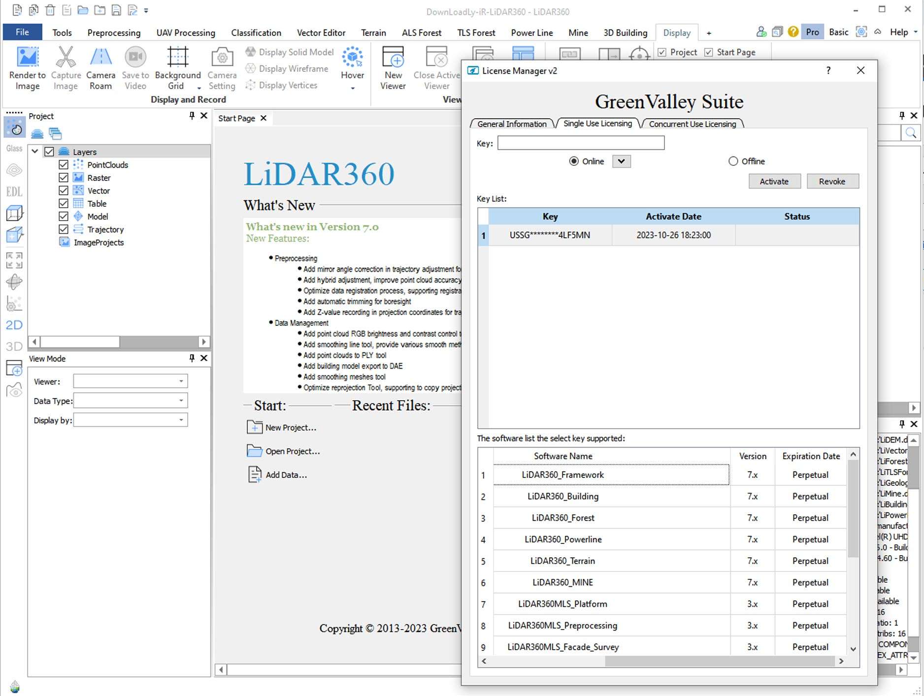
GreenValley LiDAR360 Suite is an advanced, integrated 3D geospatial platform for LiDAR and photogrammetric data processing. Building upon the core LiDAR360 software, the “Suite” represents the flagship package that bundles all modules (Forestry, 3D City Modeling, Power Line, Topography, etc.) into a unified environment. It leverages AI and deep learning extensively to automate the extraction of features, perform change detection, and create detailed digital twins of natural and built environments from airborne, mobile, and terrestrial data sources.
GreenValley LiDAR360 Suite is a comprehensive geospatial intelligence platform designed for LiDAR Data Scientists, Forestry Analysts, Urban Modelers, Infrastructure Engineers, Surveying & Mapping Professionals, and Disaster Management Specialists who require an all-in-one solution for processing, analyzing, and modeling 3D point cloud and imagery data to extract actionable intelligence for large-scale projects.
AI-Powered Automation Suite: Core platform driven by deep learning for automated point cloud classification (ground, vegetation, buildings, powerlines, etc.), object detection, and feature extraction with high accuracy.
Comprehensive Vertical Modules: Integrated modules for:
Forestry 360: Individual tree detection, forest inventory (height, DBH, volume, biomass), and change analysis.
City 360: Automated 3D building reconstruction (LoD2/LoD3), city model generation, and urban planning analysis.
Power Line 360: Clearance analysis, vegetation encroachment detection, and tower/pole extraction.
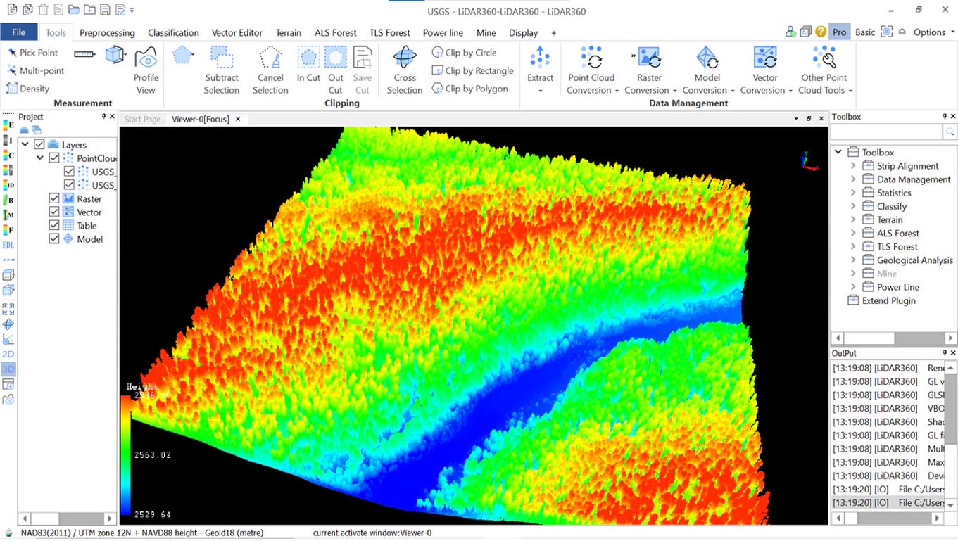
Topography 360: High-precision DTM/DSM generation, contouring, and volumetric calculations.
Massive Data Handling & Fusion: Processes billions of points from LiDAR and integrates with optical/SAR imagery for fused analytics and true-color point clouds.
Advanced 3D Modeling & Visualization: Creates high-fidelity 3D mesh models, TINs, and offers cinematic visualization tools for immersive exploration of 3D scenes.
Cloud & Desktop Integration: Supports scalable processing with options for cloud-based deployment or high-performance desktop computation.
GIS & BIM Interoperability: Seamless export to GIS formats (SHP, Geodatabase) and 3D model formats (OBJ, FBX, IFC) for integration into enterprise systems.
This major release represents a significant leap in AI capabilities, processing architecture, and domain-specific analytics.
Next-Gen AI Core: A completely redesigned deep learning framework with new neural network architectures for significantly improved feature recognition accuracy and reduced manual correction.
Unified Processing Engine: A new, more efficient processing backend that unifies all modules, enabling faster batch processing and better memory management for continent-scale projects.
Expanded Domain-Specific AI Models: Pre-trained models for new applications like coastal erosion monitoring, railway corridor analysis, and solar potential assessment.
Enhanced Reality Capture Integration: Tighter workflows for processing data from drones and mobile mapping systems, including direct support for more sensor formats.
Modernized UI & Collaborative Features: A redesigned user interface with project management tools and features for team-based collaboration on large datasets.
OS: 64-bit Windows 10/11 Pro/Enterprise.
CPU: High-end Intel Core i9/Xeon or AMD Ryzen 9/Threadripper (maximizing core count and speed).
RAM: 32 GB minimum (128 GB+ recommended for massive datasets or 3D city modeling).
Graphics: Absolute Necessity: High-end NVIDIA RTX A-series or GeForce RTX 40-series GPU with 12GB+ VRAM for AI and 3D rendering.
Storage: Ultra-fast NVMe SSD (2TB+ recommended for project data).
Price: 225 $
Price Currency: $
Operating System: Windows
Application Category: Geospatial


Reviews
There are no reviews yet.