GroundWater Desktop is a 3D Windows application designed for groundwater modelers, environmental engineers, and hydrogeologists. It enables visualization and analysis of both geological/hydrogeological data (e.g., water levels, contaminant concentrations, well lithology) and flow and transport model outputs.
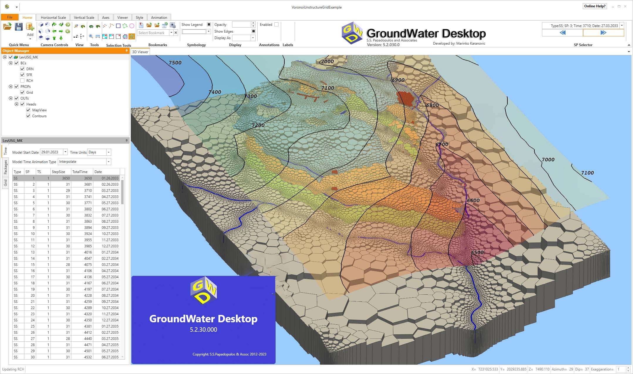
The application supports interoperability with models such as MODFLOW, MT3D, MODPATH, as well as unstructured mesh versions (MODFLOW-USG), and others. Models and outputs can be viewed using features such as slices, cutaways, and layer “exploded” views, allowing for a better understanding of the 3D structure of groundwater and contaminants.
Geospatial data is supported, including the import of rasters, shapefiles, and orthophotos, and the ability to overlay buildings and other objects. Geostatistical methods are built in: for example, 3D kriging based on concentration data, construction of pollutant isosurfaces, and calculation of the volumes and masses of a pollutant spot.
GroundWater Desktop is a three-dimensional windows application designed for groundwater modelers, environmental scientists and engineers to provide a versatile tool in their toolbox. The flexible and intuitive interface enables the scientists to explore, understand and visualize groundwater models, environmental, geological and spatial data.
GWD incorporates unique, advanced and robust geostatistical analysis tools developed to assist in various hydrogeological investigations in the fields of groundwater mapping and management of contaminated sites.
Price: 125 $
Price Currency: $
Operating System: Windows
Application Category: Environmental Engineering


Reviews
There are no reviews yet.