https://lavteam.org/2025/07/13/hydrocad-software-solutions-hydrocad-v1020-7a.html
HydroCAD is a powerful, Windows-based application dedicated to stormwater hydrology and hydrograph analysis. It simplifies the complex calculations required for designing detention ponds, culverts, channels, and other BMPs (Best Management Practices), allowing engineers to create accurate models of watershed runoff and system response from pre- to post-development conditions. Its focus on ease-of-use and regulatory compliance has made it a standard in the industry.
HydroCAD v10.20-7a is an essential tool for civil engineers, water resource engineers, site designers, land planners, and regulatory officials. It is specifically designed for professionals who need to model, analyze, and design stormwater management systems for compliance with local, state, and federal regulations.
Integrated Watershed Modeling: Model complex watersheds using multiple subcatchments with a variety of runoff methods, including SCS TR-20/TR-55, SBUH (Santa Barbara Urban Hydrograph), and Rational Method.
Advanced Routing & Pond Design: Route hydrographs through a network of ponds, risers, culverts, weirs, and orifices. Automatically size detention storage to meet target release rates.
Extensive Device Library: Pre-configured and customizable components for standard outlet structures, including rectangular/trapezoidal channels, culverts (FHWA HDS-5), weirs, and perforated risers.
Comprehensive Reporting: Generate detailed, professional calculation reports tailored to meet common municipal submission requirements, including all input parameters and result summaries.
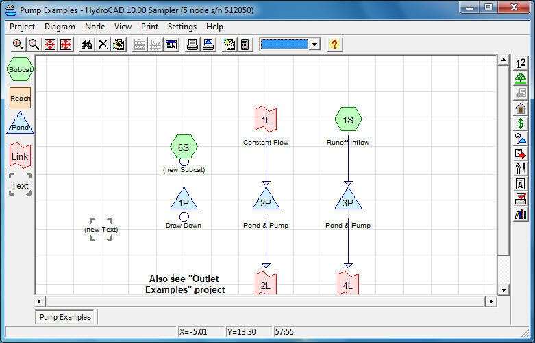
Graphical Results & Visualization: View and compare input and output hydrographs, stage-storage-discharge curves, and pond profiles on-screen. Easily visualize the entire system schematic.
Regulatory Compliance Focus: Built-in tools and methodologies specifically aligned with common regulatory frameworks, simplifying the approval process for development projects.
Time-Saving Tools: Automatic reach routing, pond routing, and hydrograph summation. Easy “what-if” scenario testing by modifying parameters.
This maintenance release focuses on stability, compliance updates, and user-requested enhancements:
Updated Regulatory References: Incorporates the latest guidance and references to stay current with evolving state and local stormwater manuals.
Improved Import/Export Functionality: Enhanced data exchange with CAD software and GIS formats for smoother integration into existing design workflows.
Refined Culvert Calculations: Updates and refinements to culvert hydraulic calculations for increased accuracy across a wider range of flow conditions.
User Interface Polish: Minor improvements to dialog boxes and report formatting for a clearer, more consistent user experience.
Bug Fixes & Performance: General stability improvements and resolution of issues reported in previous versions.
OS: Windows 7 SP1, 8.1, 10, or 11 (64-bit recommended)
CPU: 1 GHz processor or faster
RAM: 2 GB minimum (4 GB or more recommended for large models)
Disk Space: 500 MB free space for installation
Other: An internet connection is required for software activation and updates.
Price: 125 $
Price Currency: $
Operating System: Windows
Application Category: Environmental Engineering


Reviews
There are no reviews yet.