Leica GEO Office 8.4.0

Latest update

December 29, 2025

License Price

125 $

OS

Windows

Leica GEO Office 8.4.0


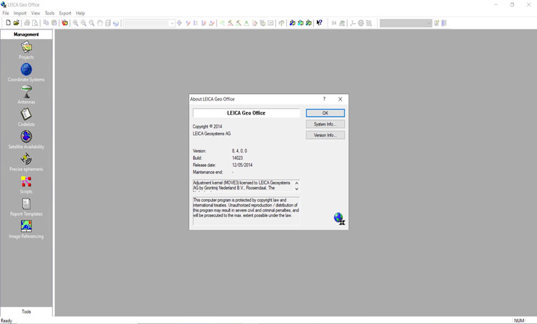
Leica GEO Office is the official office software suite for processing data from Leica Geosystems surveying instruments. It provides a unified environment for downloading, processing, adjusting, and reporting on data collected in the field. The software handles raw observations from total stations and GNSS receivers, performs network adjustments, calculates coordinates, manages codes and attributes, and prepares data for CAD or GIS applications, forming the critical link between field work and final deliverables.


Primary Users

Leica GEO Office is a comprehensive geospatial data processing software designed for Land Surveyors, Geodesists, Civil Engineers, Construction Surveyors, GIS Professionals, and Technicians who use Leica Geosystems surveying equipment (total stations, GNSS receivers, levels) and need to process, analyze, manage, and export field measurement data


Key Features & Capabilities

  • Unified Data Management: Single project environment for importing data from all major Leica instruments (TPS, GPS, Levels) and legacy formats.
  • Advanced GNSS Processing: Process static, rapid-static, and kinematic GNSS data. Supports network adjustments, baseline processing, and transformation to local coordinate systems.
  • Traverse & Network Adjustment: Rigorous least-squares adjustment of traverse and leveling networks, with statistical analysis of residuals and accuracy reports.
  • Survey Database & Coding: Manage survey points with user-defined attributes and codes linked to Leica System 1200/GS18 field codes for automated linework and feature creation.
  • Data Export & Integration: Extensive export options to CAD formats (DWG, DXF), GIS formats (SHP), LandXML, and ASCII files for seamless integration with design software.
  • Reporting & Visualization: Generate customized coordinate reports, observation summaries, adjustment reports, and graphical plots of networks and error ellipses.

What’s New in Version 8.4.0

This update focuses on enhanced GNSS processing, modernized workflows, and improved interoperability.
  • Enhanced Multi-GNSS Processing: Improved engine supporting the latest constellations (GPS, GLONASS, Galileo, BeiDou) and signals for higher accuracy and reliability in challenging environments.
  • Modernized User Interface: Updated ribbon-based interface and dark mode support, improving usability and aligning with contemporary software standards.
  • Direct CAD Integration (Enhanced): Smoother, more reliable direct export and layer management for AutoCAD and MicroStation, preserving linework and point attributes.
  • Expanded Import/Export Filters: Support for additional third-party data formats from other survey instruments and newer data exchange standards.
  • Performance Improvements: Faster processing times for large datasets and projects with thousands of points and observations.

💻 System Requirements

  • OS: 64-bit Microsoft Windows 10 or Windows 11.
  • CPU: Intel Core i5 or equivalent processor (2 GHz or faster recommended).
  • RAM: 8 GB minimum (16 GB recommended for large projects).
  • Storage: 2 GB free disk space for installation.
  • Graphics: Graphics card with DirectX 11 support and 1 GB VRAM.
  • Other: Microsoft .NET Framework 4.8.
Software

Price: 125 $

Price Currency: $

Operating System: Windows

Application Category: Surveying

Editor's Rating:
5

Latest update

December 29, 2025

License Price

125 $

OS

Windows

Reviews

There are no reviews yet.

Be the first to review “Leica GEO Office 8.4.0”

Your email address will not be published. Required fields are marked *

Recommended for You