Quick Terrain Modeller is a professional software for creating 3D images of terrain from LiDAR data. Although the ability of this program is not only limited to lidar data and it adapts well to other data systems, but its main ability is certainly revealed when working with this data format. Lidar is actually a remote sensing technology that uses laser radiation to scan the earth and understand its three-dimensional structure. This system sends 16,000 light pulses per second in an approximate range of 15 cm by 40 cm to the desired subject (land, forest, cars, road, buildings, lands, etc.) does, the collected data is saved in LAS format.
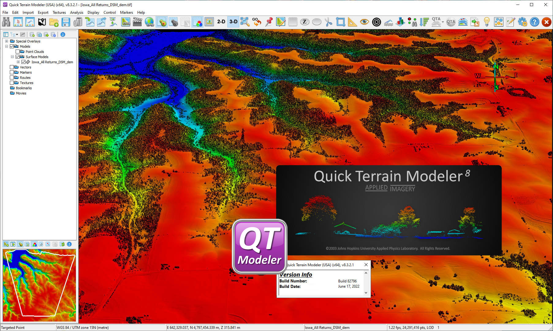
By receiving these data, Quick Terrain Modeller software provides the possibility of preparing a color 3D model from the available data. The wide possibilities of this program have made it possible for specialists to work with a significantly larger volume of data; render larger models; Analyze the available data more quickly and finally output your project for various products. The mentioned advantages have made the users of this software to prepare 3D and accurate maps of land features with maximum power in a simple and graphic environment. “Applied Imagery”, the company that produces this program, simplifies its user interface by releasing each version of the mentioned software, and of course, it also provides many features requested by users. Quick Terrain Modeller provides almost everything you need for 3D terrain mapping.
Price: 125 $
Price Currency: $
Operating System: Windows
Application Category: Geospatial


Reviews
There are no reviews yet.