
Latest update
License Price
OS
TopoDOT software is a comprehensive solution for spatial data analysis, 3D point cloud model analysis, and digital twin in mapping. Focusing on processing data collected along roads, railways, facilities, and other land surveying applications, this software offers a high-quality process that provides the right balance between automation and accuracy. TopoDOT software’s important capabilities include analyzing cartographic and LiDAR data formats, extracting specific features, and creating accurate maps.
TopoDOT software also provides tools for quickly and accurately extracting topographic models, GIS data, and other digital twin data using advanced technologies. By providing documented processes and dedicated support, this software helps engineering and mapping teams meet complex project needs at the lowest possible cost.
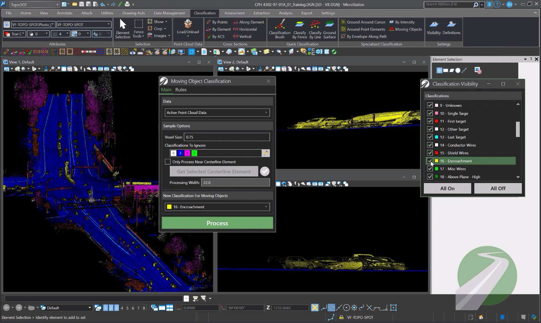
Automatic Feature Extraction: Leverage artificial intelligence to automatically identify and extract complex features from point clouds
Structural 3D Modeling: Advanced tools for creating accurate 3D models of structures and infrastructure
Spatial Data Management: Documented processes for managing and sharing high-quality spatial data
Road Topography Extraction: Provides controlled processes for extracting topographic and 3D models from data collected along roads
GIS Data Recognition: Machine learning-based tools for identifying and extracting GIS data with high accuracy
Railway Data Processing: Rapidly extract assets and topography from data collected along railway routes
Price: 325 $
Price Currency: $
Operating System: Windows
Application Category: Civil Engineering
Latest update
License Price
OS


Reviews
There are no reviews yet.