Catalyst Professional is the world’s leading geospatial desktop suite, specializing in remote sensing, photogrammetry, and Earth observation science. Developed by Catalyst (formerly PCI Geomatics), this comprehensive platform provides professionals with advanced tools for processing satellite and aerial imagery, performing rigorous orthorectification, extracting 3D information, and conducting multi-spectral and hyperspectral analysis. Version 2026 v3.3.5 continues Catalyst’s legacy of scientific excellence, offering enhanced machine learning classification, expanded sensor support, and accelerated processing through GPU and distributed computing. Whether generating base maps, monitoring environmental change, or conducting defense intelligence analysis, Catalyst Professional delivers the accuracy, scalability, and scientific rigor that demanding Earth observation projects require.
This professional geospatial software is designed for:
Remote Sensing Scientists & GIS Analysts processing and analyzing satellite and aerial imagery.
Photogrammetrists & Geospatial Engineers creating orthophotos, DEMs, and 3D models from imagery.
Environmental Scientists & Land Use Planners monitoring vegetation change, urban expansion, and natural resources.
Defense & Intelligence Analysts performing change detection, feature extraction, and image classification.
Agricultural & Forestry Specialists assessing crop health, forest inventory, and land cover mapping.
Supported Sensors:
Optical: Landsat (1-9), Sentinel-2, MODIS, Planet, RapidEye, WorldView (1-4), GeoEye, IKONOS, SPOT (1-7), Pleiades, ASTER
Radar: Sentinel-1, RADARSAT-1/2, TerraSAR-X, TanDEM-X, COSMO-SkyMed, ALOS PALSAR
Hyperspectral: Hyperion, AVIRIS, HyMAP, EO-1 Hyperion
UAV/Digital Aerial: JPEG, TIFF, RAW, and proprietary digital camera formats
Data Formats:
Support for 100+ raster and vector formats
Direct read of raw satellite telemetry
GeoTIFF, NITF, HDF4/5, NetCDF, GML, KML, Shapefile, GeoPackage
Vexcel, ADS, DMC, and other digital frame sensors
Rigorous Sensor Modeling:
Physical and RPC sensor models for all major satellites
Rational Polynomial Coefficient (RPC) refinement
Orbit and attitude correction
Atmospheric and topographic corrections
Digital Elevation Model (DEM) Extraction:
Stereo and multi-view photogrammetry
Dense image matching (SGM & DSM) for 3D point clouds
LiDAR and photogrammetry fusion
DEM editing and quality control
Orthorectification & Mosaicking:
Orthorectification using RPCs, GCPs, and DEMs
Seamless mosaic generation with color balancing
Automatic tie point collection (APM)
Large area block bundle adjustment
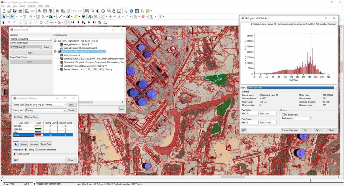
Supervised Classification:
Maximum Likelihood, Mahalanobis, Minimum Distance
Spectral Angle Mapper (SAM)
Support Vector Machine (SVM)
Random Forest & Decision Trees
Neural Network / Deep Learning classification (CNN, U-Net)
Unsupervised Classification:
K-Means, ISODATA, Fuzzy C-Means
Principal Component Analysis (PCA)
Independent Component Analysis (ICA)
Change Detection:
Post-classification comparison
Spectral change vector analysis
Multi-date principal components
Burn severity and flood mapping
Spectral Processing:
Spectral feature extraction (FFT, wavelet, PCA, MNF)
Endmember extraction (PPI, N-FINDR, SMACC)
Spectral unmixing (linear, MESMA)
Material identification and mineral mapping
Vegetation & Agriculture:
NDVI, EVI, SAVI, MSAVI, NDWI
Crop health and stress detection
Canopy chlorophyll estimation
Leaf Area Index (LAI) retrieval
SAR Processing Chain:
Radiometric calibration (beta, sigma, gamma nought)
Speckle filtering (Lee, Frost, Gamma, Refined Lee)
Terrain correction with DEM (Range Doppler)
Polarimetric decomposition (H-A-Alpha, Freeman-Durden, Yamaguchi)
InSAR & DInSAR:
Interferogram generation
Phase unwrapping (Snaphu, Minimum Cost Flow)
Coherence mapping and change detection
Digital elevation model extraction from interferometry
OrthoEngine:
Project work-flow for rigorous orthorectification
GCP collection and editing tools
Bundle block adjustment reports
Automated tie point generation
Mosaic Editor:
Interactive seamline editing and feathering
Global color balancing (Wallis, Linear, Logarithmic)
Gradient blending and dodging
Output to GeoTIFF, JPEG2000, NITF
Classic ML:
Random Forest, SVM, K-Means, ISODATA
Feature extraction (texture, shape, spectral)
Deep Learning (AI / Neural Nets):
U-Net, ResNet, DeepLab for semantic segmentation
Feature extraction (buildings, roads, water bodies)
Land cover classification, change detection
Transfer learning from pre-trained models
GPU-based training and inference
Modeler (Visual Workflow):
Drag-and-drop geospatial algorithm chaining
Batch processing and process automation
Integration of Python functions
Python & Geomatica SDKs:
Full Python API (Geomatica/PyGeomatica)
C/C++ API for custom algorithms and integration
Jupyter notebook support for data science workflows
Base map generation, topographic mapping, ortho-photo creation, DEM/DSM extraction – National Mapping Agencies, Survey Departments.
Crop classification and yield estimation, deforestation monitoring, fire detection and burn severity, forest inventory (stand delineation).
Flood inundation mapping, earthquake damage assessment, landslide detection, wildfire progression.
Land cover/land use change, impervious surface mapping, infrastructure extraction (roads, buildings, utilities).
Change detection, feature extraction (vehicles, installations), image enhancement, tactical mapping.
Climate (glacier, permafrost, sea ice), geology, hydrology, archeology – University, Government research labs.
Price: 285 $
Price Currency: $
Operating System: Windows
Application Category: Geospatial


Hakan –
Hello, I need pci Catalyst Professional 2024
product_manager –
Hi Please contact us via email info@usoftly.ir
product_manager –
Hi
Please contact us via email: info@usoftly.ir
Gqq –
Hello, I need pci Catalyst Professional 2024
product_manager –
Hi
Please contact us via email: info@usoftly.ir